Sanitary Sewer Mainlines
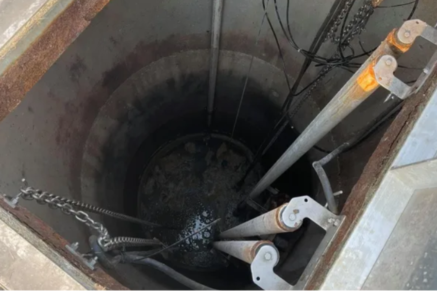
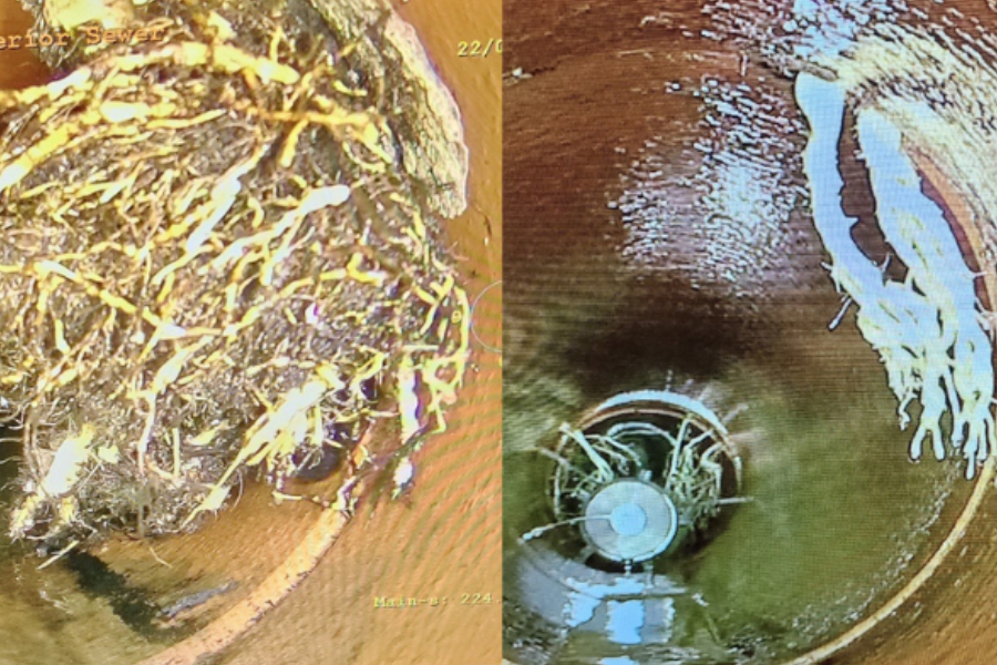
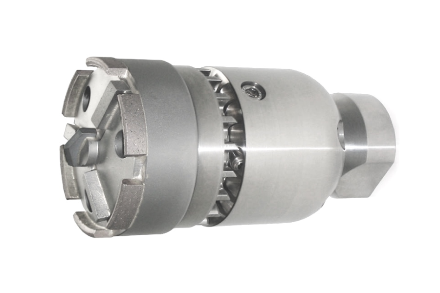
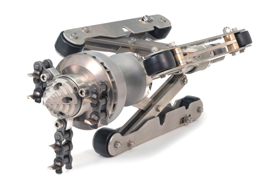
Sanitary sewer mainlines are an essential part of a community's infrastructure, responsible for transporting wastewater from homes, businesses, and industries to treatment facilities. These mainlines need to be properly maintained to ensure the efficient flow of wastewater. Regular activities such as lift station cleaning, root cutting, tap cutting, and deposit reaming are crucial to keep the sanitary sewer mainlines in good working condition. By performing these maintenance tasks, potential blockages and sewer system issues can be prevented, thus contributing to the overall health and functionality of the sewer system.
Maintenance Programs & Sewer Mapping
Maintenance Programs
At JJL, we offer our customers scheduled maintenance programs, on your choice of terms, making sure that your sewer system stays in compliance with your insurance company. This is designed to stay on top of your potential maintenance issues. Along with our services, we provide you typed cleaning logs and state-of-the-art inspection reports so you know where your potential bad lines are located. Contact us to set up a free consultation.
Sewer Mapping
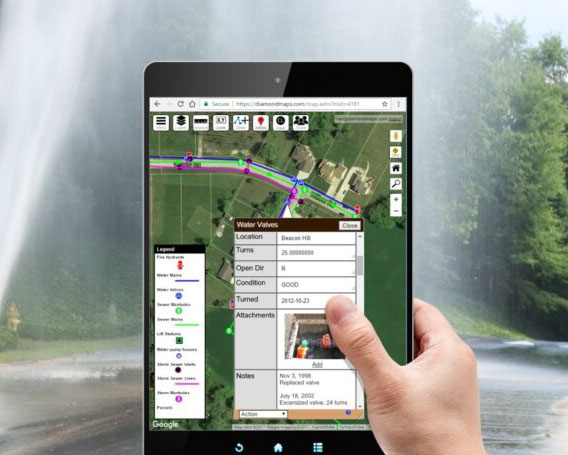
You can depend on JJL for digital mapping using the Diamond Maps Program. Diamond Maps is a simple cloud-based GIS/Mapping application designed to help municipalities and rural utilities map their sewer and water infrastructure and track maintenance. We locate and map underground utilities including manholes, catch basins, sewer laterals, agricultural tile lines, and inlets/outlets for businesses and municipalities. All of these points are collected in survey grade which gives our customers the most accurate data and maps.
